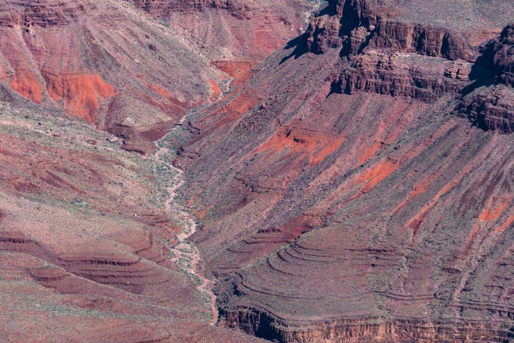
Scientists studying the North Sea have found something unexpected deep below its waters. Earth layers appear reversed, with younger rocks trapped underneath older ones. This strange pattern, known as stratigraphic inversion, is forcing experts to rethink long‑held ideas about how sediment forms and shifts over millions of years.
Researchers discovered these unusual formations inside kilometer‑wide mounds scattered on the sea floor. The mounds, called sinkites, show older ooze rafts resting on top of younger sand deposits. This is the opposite of what most geologists expect to see, and it points to violent shifts in ancient seabed conditions.
Thomas / Unsplash / Geologists think ancient earthquakes liquefied sand layers, forcing them to sink through cracks in the seabed.
That sinking sand pushed older sediments upward, leaving lighter materials floating above heavier ones. The process created what researchers now call 'floatites,' lighter layers balanced awkwardly over denser sand bodies.
The inverted layers stretch across several kilometers, making this the largest known example of this geologic phenomenon. The sheer scale has surprised even experienced scientists, showing how active and unpredictable subsurface processes can be.
These formations could change how companies look for oil and gas. Traditional exploration models rely on the normal order of rock layers, but these flipped layers suggest fluid pathways behave differently. Reservoirs may be hiding where few have thought to look before.
The discovery also matters for carbon capture projects. Inverted layers affect how well a storage site seals in gas. Engineers studying underground carbon storage can use this new data to choose safer and more stable locations, reducing risks for future projects.
The Discovery Reveals Lost North Sea History
Spenser / Unsplash / These findings shake up long‑accepted geologic rules. It shows that sediments do not always follow neat, textbook stacking orders, even in regions once thought stable.
Long before these mounds formed, the North Sea was dry land known as Doggerland. Hills and lagoons once filled the area, until rising seas covered it around 8,000 years ago.
Modern energy work has helped expose these features. Oil rigs and wind farm surveys have mapped parts of the sea floor in incredible detail. Those maps led to the first hints of the upside‑down layers, showing how industry efforts often uncover unexpected scientific value.
Seeing younger Late Miocene and Early Pliocene sands trapped beneath older Early Miocene layers is rare.
The pattern of layers suggests a violent history. Earthquakes likely hit the region with enough force to liquefy sand, shift massive rafts of sediment, and permanently alter the seabed.
Smaller examples of stratigraphic inversion have been documented elsewhere, but nothing compares to the spread of these sinkites. Their size means geologists can see processes at a scale that smaller formations never revealed, giving a sharper view of how Earth layers can turn upside down.
Unexpected Influence on Fluid Migration
Oil, gas, and even groundwater follow paths set by rock layers. With these inverted layers, fluid flow likely moved in unusual ways. That changes how geologists model reservoirs and explains why some wells succeed where others fail.
Offshore wind projects rely on stable sea floor conditions. Knowing where these sinkites and floatites lie can guide engineers toward safer areas for turbine foundations. It adds another layer of practical insight to a discovery born from geological curiosity.
Experts suspect this is not unique to the North Sea. Other regions may hide similar inverted layers that have simply gone unnoticed. Future surveys in different basins could reveal the same kind of earth‑flipping activity, prompting fresh studies of ancient seismic events.